
Scaffolding delays. Costly access equipment. Incomplete data. Endless risk assessments.
Traditional inspections often mean disruption, danger, and rising expenses.
A professional drone survey changes everything.
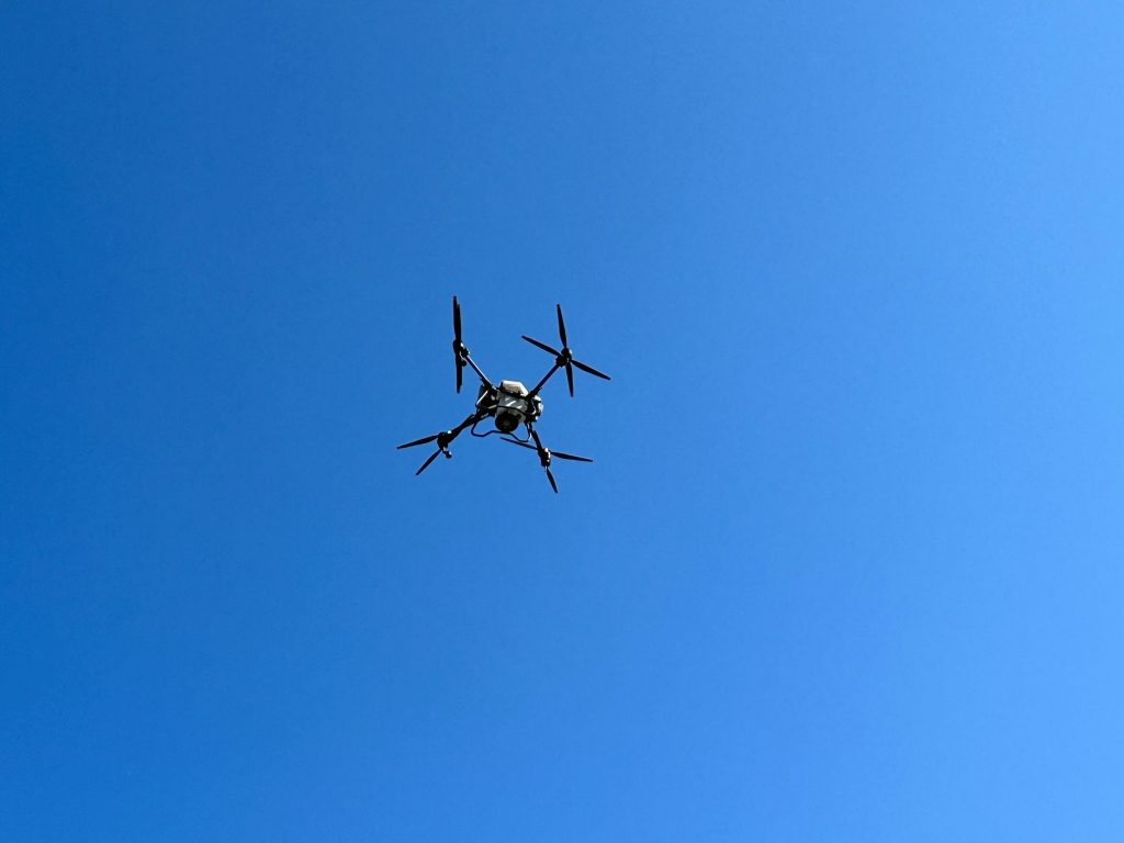
With advanced aerial drone surveying, you gain fast, high-resolution data without shutting down operations. From land assessments to complex structures, precision is delivered from above, safely, efficiently, and without the chaos on the ground.
Water stains spreading? Cracks you can’t fully see?
Ignoring hidden roof damage leads to expensive structural failures.
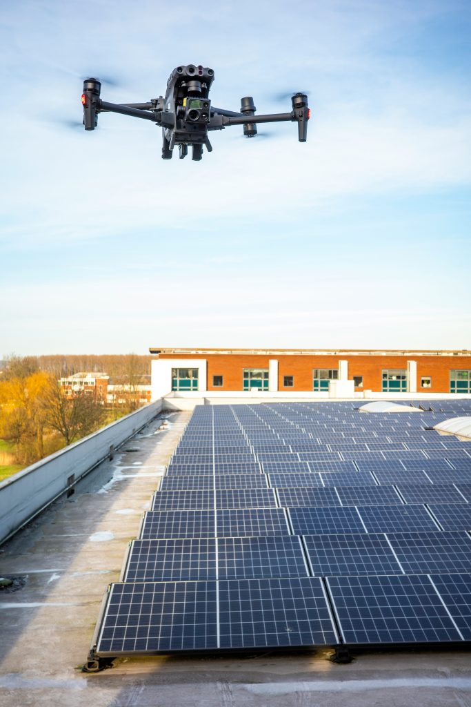
A detailed drone roof inspection and drone roof survey eliminate uncertainty. Using the best drone for roof inspections and thermal imaging technology, every tile, seam, and flashing is captured in ultra-clear detail.
What looks minor today can become a major structural issue tomorrow.
With high-resolution imagery and intelligent reporting, you receive:
Timestamped visual evidence for insurance or maintenance records
Clear recommendations for next steps
Just accurate data you can act on immediately.
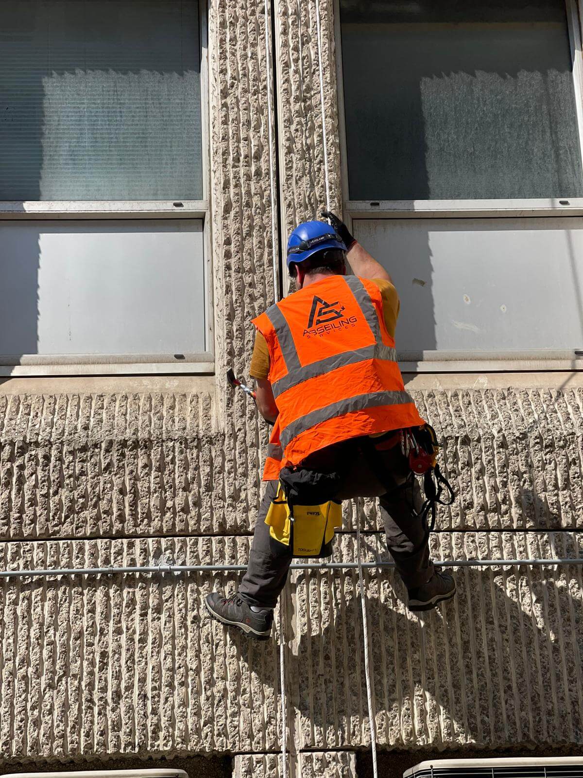
At Abseiling Services, we deliver precision-led drone survey and uav survey solutions designed to protect your property, reduce risk, and eliminate unnecessary costs. Our experienced pilots operate cutting-edge equipment, including advanced 3d mapping drones, to capture high-resolution data with absolute accuracy and efficiency.
From detailed drone roof inspection and drone roof survey projects to full-scale commercial drone survey operations, every flight is conducted with strict safety compliance and professional reporting standards. Using the best drone for roof inspections and the best drone for roof surveys, we ensure no crack, leak, or structural concern goes unnoticed.
One of the biggest pain points: unpredictable pricing.
What is the real drone survey cost?
How does the drone survey price compare to traditional methods?
By removing heavy access equipment and reducing labour time, a commercial drone survey dramatically lowers operational disruption and hidden expenses. Transparent pricing models ensure you understand exactly what you’re paying for, and why it saves you more long-term.
Ensuring the integrity of your building, roof, or land is essential for both structural safety and financial protection. With the right drone survey approach and thorough data capture, you reduce hidden risks and gain complete visibility over your assets.
Undetected roof damage, structural movement, or mapping inaccuracies can lead to costly repairs, insurance disputes, and operational delays. A professional drone roof inspection, detailed drone building survey, or high-precision aerial roof survey allows you to identify issues early, before they escalate into major problems.
Our expert team provides reliable drone survey and UAV survey services to ensure the safety, accuracy, and long-term security of your property. Whether you require a detailed drone roof inspection, a comprehensive drone building survey, or a high-precision aerial roof survey, we deliver high-quality, fully compliant solutions tailored to your project’s exact needs.
Photos are helpful.
Actionable data is powerful.
Our cutting-edge 3D mapping drones transform captured imagery into measurable models. Through advanced drone mapping service technology, you receive:
No more manual measuring errors.
No more incomplete site information.
Instead, you gain a complete aerial perspective that supports architects, engineers, surveyors, and property managers with dependable, survey-grade accuracy.
Not all drone survey companies deliver the same level of accuracy or compliance. Before selecting from available UAV survey companies, consider:
The right partner ensures your survey isn’t just a flight; it’s a fully documented, actionable report.
Common Questions:
Looking for a dependable drone survey solution? Contact us today to schedule your professional drone roof inspection, drone building survey, or fully detailed aerial roof survey. Our experienced team delivers precise aerial drone surveying across Glasgow and Scotland, ensuring accurate data, fast turnaround times, and full compliance with aviation regulations.
Don’t leave hidden damage, measurement errors, or costly surprises undiscovered.
Contact us now to secure your property with trusted, professional UAV survey solutions that deliver results from above.
WE OFFER FREE ESTIMATES AND ALWAYS QUOTE THE BEST POSSIBLE PRICE